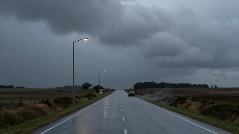
Cold Front Brings Election Day Storms to Jackson Area
Isolated showers and a 1-in-5 risk of severe weather are expected Tuesday night, marking a shift to cooler, drier conditions for the rest of the week.
By Yasmin Nasser ·
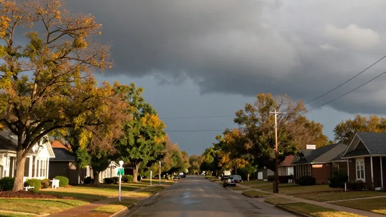
Jackson residents will see a shift from mild, cloudy skies to stormy conditions on Tuesday night as a cold front arrives. The weather system brings isolated showers, damaging winds, and a marginal risk of severe weather to parts of the region.
Monday serves as a transition day. Temperatures start in the upper 50s and low 60s before climbing to the upper 70s and low 80s. Winds gust between 10 and 15 mph in the afternoon. Skies remain mostly cloudy, but rain holds off for the day.
The weather turns as polls open on Tuesday. Most of the day stays dry until evening showers develop. The cold front lingers into early Wednesday morning. Forecasters have placed a 1-in-5 risk of severe weather for areas west of I-55. Damaging winds and small hail are the primary threats. Localized flash flooding and a brief spin-up tornado are also possible.
After the front passes, the region dries out. Cooler air moves in behind the system, bringing more fall-like conditions. Afternoon highs for the remainder of the week will top out in the low to mid 70s.